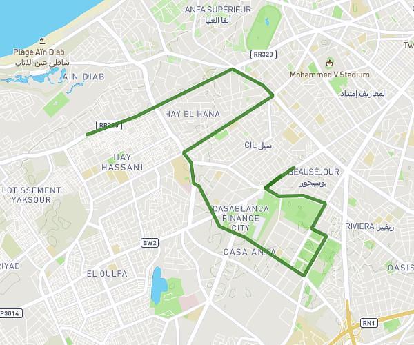
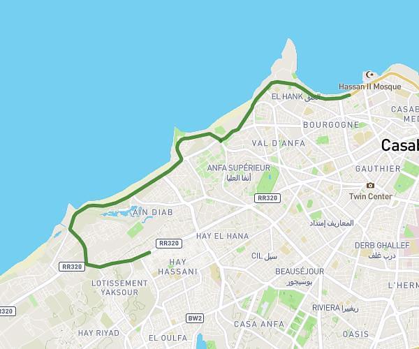
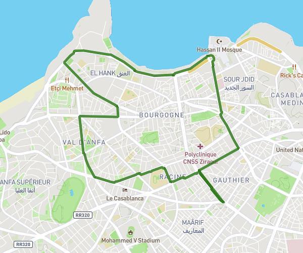
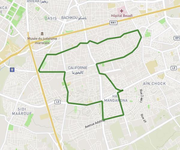
This running route covers 6.527mi starting from Casablanca, Casablanca-Settat. The run does not return to the trailhead and ends near 125 Boulevard Mohamed Zerktouni شارع محمد الزرقطوني, 20 Casablanca, Morocco. This run is rated as moderate, expect about 55m to complete it. The route has an elevation gain of 30ft and an elevation loss of 69ft.
Fatiha
Route details
7.12mph
Speed
629 kcal
Calories burned
Point to point
Route type
82ft
Min altitude
151ft
Max altitude
Route profile
30ft
Elevation gain
69ft
Elevation loss
82ft
Min altitude
151ft
Max altitude
How to get there
Trailhead: 233 Boulevard Yacoub El Mansour شارع يعقوب المنصور, 20 Casablanca, Morocco
GPS coordinates of the trailhead: 33.569901, -7.651484 / 33°34'11'' N, 7°39'5'' W