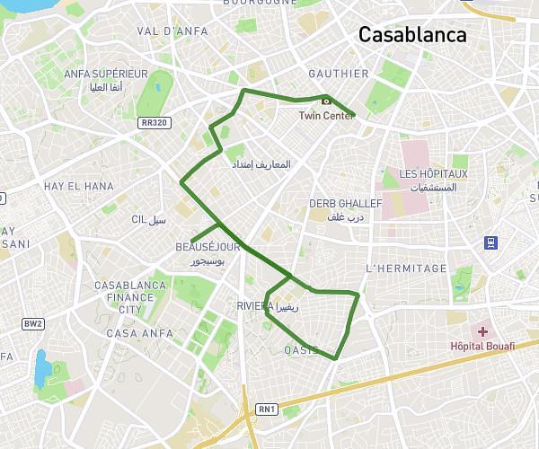
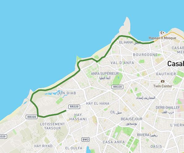
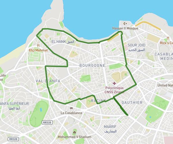
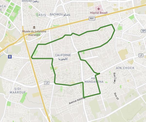
This running route covers 6.526mi starting from Casablanca, Casablanca-Settat. The run does not return to the trailhead and ends near 243 Boulevard Yacoub El Mansour شارع يعقوب المنصور, 20 Casablanca, Morocco. This run is rated as moderate, expect about 56m22s to complete it. The route has an elevation gain of 92ft and an elevation loss of 20ft.
Soukyna
Route details
6.95mph
Speed
644 kcal
Calories burned
Point to point
Route type
75ft
Min altitude
161ft
Max altitude
Route profile
92ft
Elevation gain
20ft
Elevation loss
75ft
Min altitude
161ft
Max altitude
How to get there
Trailhead: 40 Boulevard Abdelhadi Boutaleb شارع عبد الهادي بوطالب, 20 Casablanca, Morocco
GPS coordinates of the trailhead: 33.573823, -7.683783 / 33°34'25'' N, 7°41'1'' W