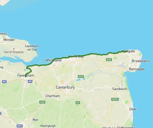
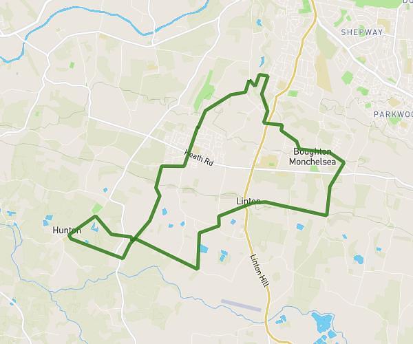
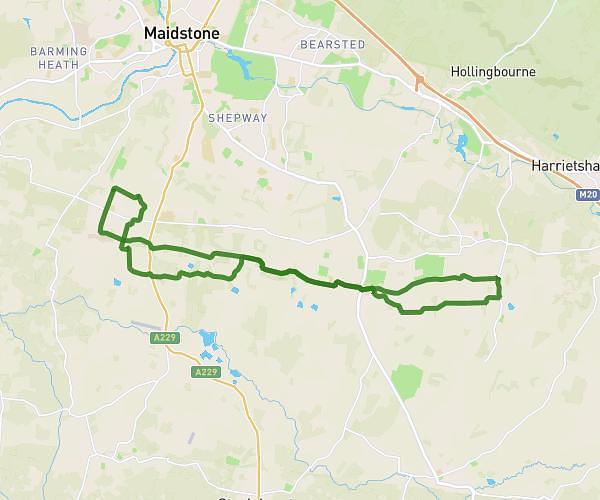
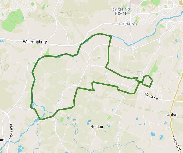
This walking route covers 16.837mi starting from Maidstone, England. The walk does not return to the trailhead and ends near 44 Upper Bridge Street, Wye, Ashford, TN25 5AN, United Kingdom. This walk is rated as strenuous, plan for about 7h to complete it. The route has an elevation gain of 1188ft and an elevation loss of 1394ft.
Pilgrimage Harrietsham to Wye
Route details
24:57/mi
Pace
1715 kcal
Calories burned
Point to point
Route type
102ft
Min altitude
541ft
Max altitude
Route profile
1188ft
Elevation gain
1394ft
Elevation loss
102ft
Min altitude
541ft
Max altitude
How to get there
Trailhead: Pilgrims Way, Maidstone, ME14 3BZ, United Kingdom
GPS coordinates of the trailhead: 51.27593, 0.63463 / 51°16'33'' N, 0°38'4'' E