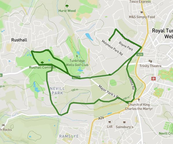
This running route covers 12.074mi starting from Tonbridge, England. The run does not return to the trailhead and ends near 20 Platt House Lane, Fairseat, Sevenoaks, TN15 7LX, United Kingdom. This run is rated as strenuous, expect about 5h30m to complete it. The route has an elevation gain of 1532ft and an elevation loss of 978ft.
Today's route
Route details
2.19mph
Speed
3773 kcal
Calories burned
Point to point
Route type
118ft
Min altitude
702ft
Max altitude
Route profile
1532ft
Elevation gain
978ft
Elevation loss
118ft
Min altitude
702ft
Max altitude
How to get there
Trailhead: 86 Willow Lea, Tonbridge, TN10 3RQ, United Kingdom
GPS coordinates of the trailhead: 51.22035, 0.27868 / 51°13'13'' N, 0°16'43'' E