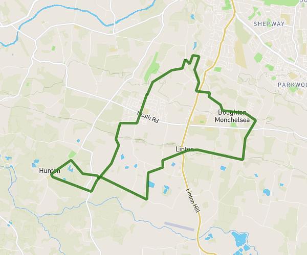
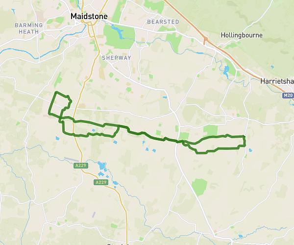
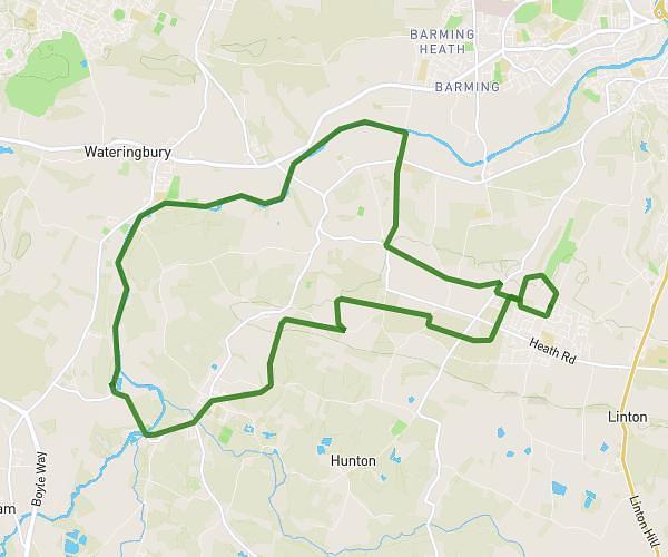
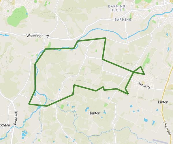
This walking route covers 3.373mi starting from Tonbridge, England. The walk is a loop trail and returns to the trailhead. This walk is rated as moderate, plan for about 1h to complete it. The route has an elevation gain of 92ft and an elevation loss of 92ft.
Walk 1 25.07.24
Route details
17:47/mi
Pace
245 kcal
Calories burned
Loop trail
Route type
108ft
Min altitude
144ft
Max altitude
Route profile
92ft
Elevation gain
92ft
Elevation loss
108ft
Min altitude
144ft
Max altitude
How to get there
Trailhead: Willow Lea, TN10 3RQ Tonbridge
GPS coordinates of the trailhead: 51.22029, 0.27875 / 51°13'13'' N, 0°16'43'' E