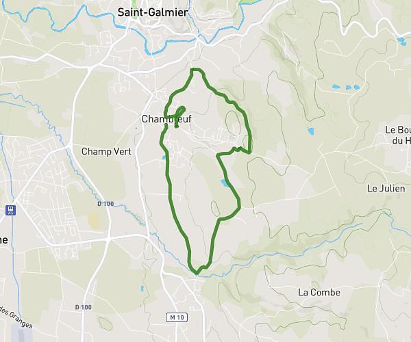
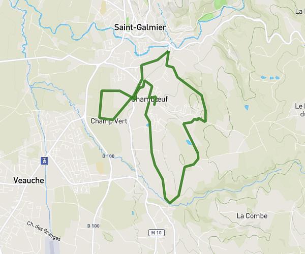
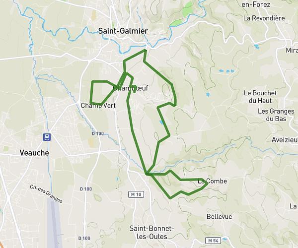
This running route covers 18.542mi starting from Saint-Étienne, Loire. The run is a loop trail and returns to the trailhead. This run is rated as strenuous, expect about 3h43m to complete it. The route has an elevation gain of 1033ft and an elevation loss of 1033ft.
boucle 30km sainté
Route details
4.97mph
Speed
2559 kcal
Calories burned
Loop trail
Route type
1463ft
Min altitude
1978ft
Max altitude
Route profile
1033ft
Elevation gain
1033ft
Elevation loss
1463ft
Min altitude
1978ft
Max altitude
How to get there
Trailhead: Rue De La République, 42000 Saint-Étienne
GPS coordinates of the trailhead: 45.43888, 4.39107 / 45°26'19'' N, 4°23'27'' E