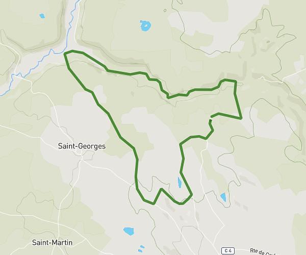
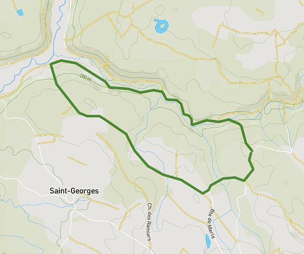
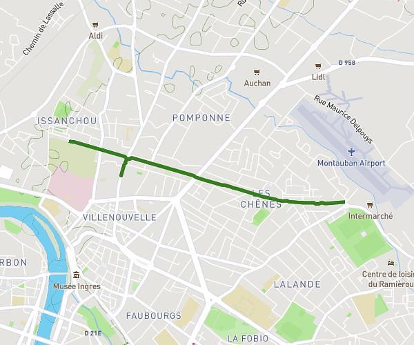
This running route covers 13.646mi starting from Caussade, Tarn-et-Garonne. The run is a loop trail and returns to the trailhead. This run is rated as strenuous, expect about 2h20m to complete it. The route has an elevation gain of 741ft and an elevation loss of 741ft.
Dimanche
Route details
5.85mph
Speed
1601 kcal
Calories burned
Loop trail
Route type
338ft
Min altitude
636ft
Max altitude
Route profile
741ft
Elevation gain
741ft
Elevation loss
338ft
Min altitude
636ft
Max altitude
How to get there
Trailhead: 48 Chemin De Castel Bas, 82300 Caussade, France
GPS coordinates of the trailhead: 44.146477, 1.532107 / 44°8'47'' N, 1°31'55'' E