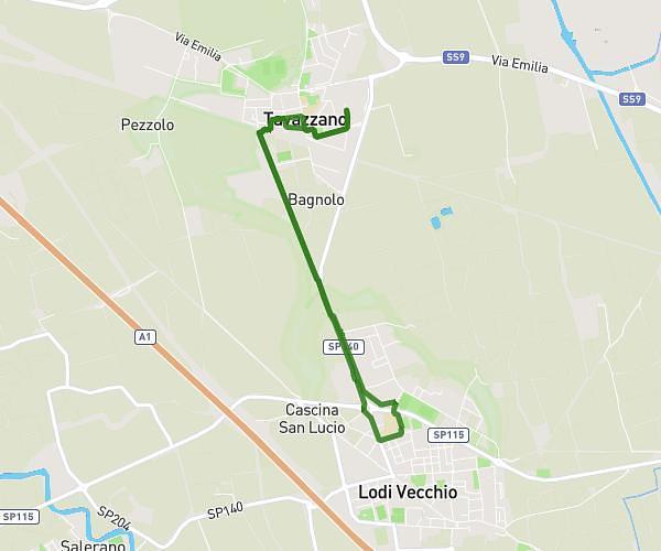
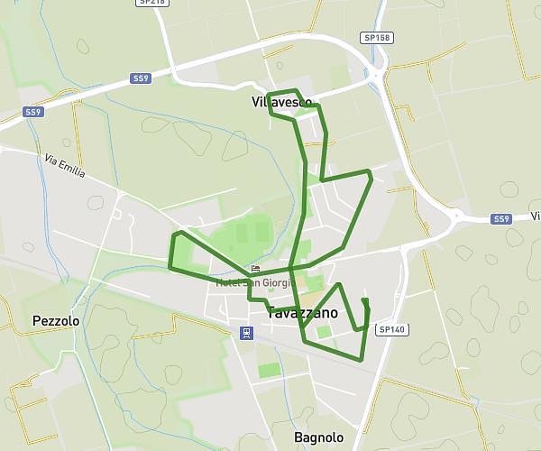
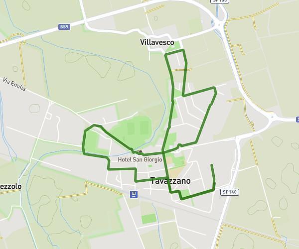
This walking route covers 11.892mi starting from Capergnanica, Cremona. The walk is a loop trail and returns to the trailhead. This walk is rated as strenuous, plan for about 4h15m to complete it. The route has an elevation gain of 512ft and an elevation loss of 522ft.
Da Capergnanica a Crema lungo il Serio
Route details
21:27/mi
Pace
1041 kcal
Calories burned
Loop trail
Route type
194ft
Min altitude
256ft
Max altitude
Route profile
512ft
Elevation gain
522ft
Elevation loss
194ft
Min altitude
256ft
Max altitude
How to get there
Trailhead: Via Santissima Trinità 5e, 26010 Capergnanica Cremona, Italy
GPS coordinates of the trailhead: 45.33657, 9.64651 / 45°20'11'' N, 9°38'47'' E