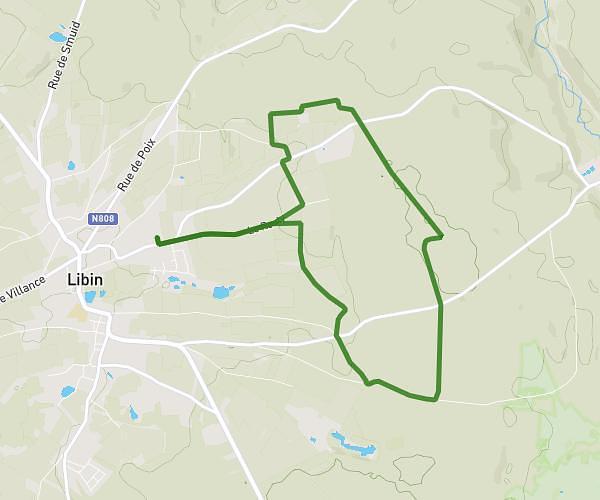
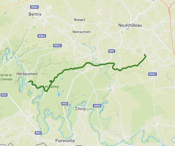
This hiking trail covers 6.101mi starting from Neufchâteau, Luxembourg. The hike is a loop trail and returns to the trailhead. This hike is rated as moderate, plan for about 1h57m to complete it. The route has an elevation gain of 738ft and an elevation loss of 741ft.
Du Polissoir au lac
Route details
3.11mph
Speed
856 kcal
Calories burned
4.6%
Avg grade
Loop trail
Route type
1263ft
Min altitude
1594ft
Max altitude
Route profile
738ft
Elevation gain
741ft
Elevation loss
1263ft
Min altitude
1594ft
Max altitude
How to get there
Trailhead: Le Sart 6, 6840 Neufchâteau, Luxembourg, Belgium
GPS coordinates of the trailhead: 49.818277, 5.451041 / 49°49'5'' N, 5°27'3'' E