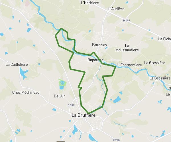
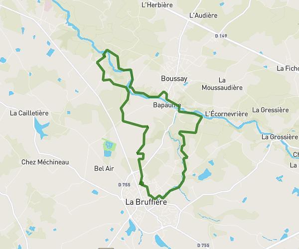
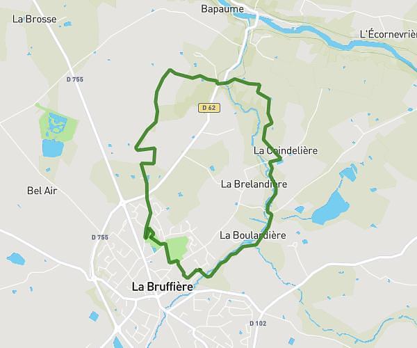
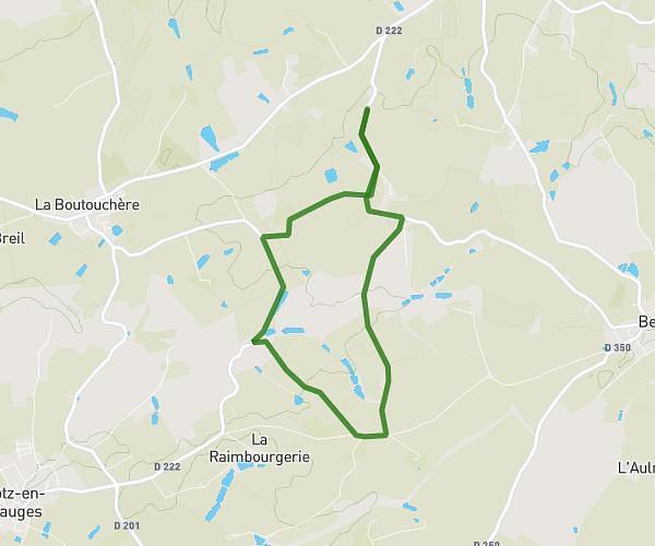
This hiking trail covers 5.731mi starting from Beaupréau-en-Mauges, Maine-et-Loire. The hike is a loop trail and returns to the trailhead. This hike is rated as easy, plan for about 1h50m to complete it. The route has an elevation gain of 420ft and an elevation loss of 420ft.
grand parcours rando marché
Route details
3.11mph
Speed
793 kcal
Calories burned
2.8%
Avg grade
Loop trail
Route type
171ft
Min altitude
344ft
Max altitude
Route profile
420ft
Elevation gain
420ft
Elevation loss
171ft
Min altitude
344ft
Max altitude
How to get there
Trailhead: Rue Des Mauges, 49600 Beaupréau-en-Mauges
GPS coordinates of the trailhead: 47.17867, -1.01603 / 47°10'43'' N, 1°0'57'' W