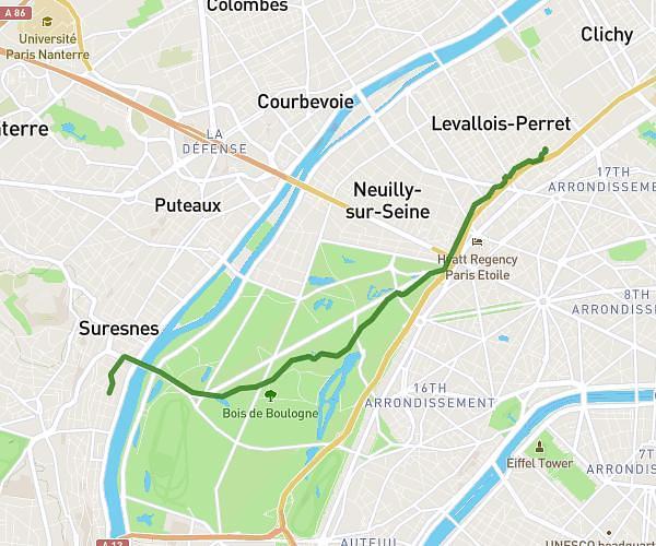
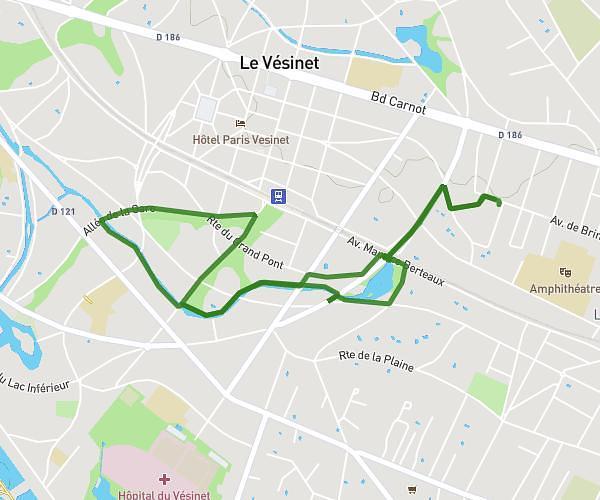
This running route covers 2.812mi starting from Chatou, Yvelines. The run is a loop and returns to the starting point. This run is rated as very easy, expect about 30m10s to complete it. The route has an elevation gain of 157ft and an elevation loss of 157ft.
Moi
Route details
5.59mph
Speed
345 kcal
Calories burned
Loop
Route type
102ft
Min altitude
128ft
Max altitude
Route profile
157ft
Elevation gain
157ft
Elevation loss
102ft
Min altitude
128ft
Max altitude
How to get there
Route starting point: 51 Avenue De Brimont, 78400 Chatou, France
GPS coordinates of the starting point: 48.889965, 2.144849 / 48°53'23'' N, 2°8'41'' E