MapPlanner
10.34mi
Distance
1h50m
Duration
5.59mph
Speed
+463ft
Elevation gain
-463ft
Elevation loss
Moderate
Level

Cité des oiseaux

Route details

982 kcal
Calories burned
1.7%
Avg grade
Loop trail
Route type
312ft
Min altitude
463ft
Max altitude

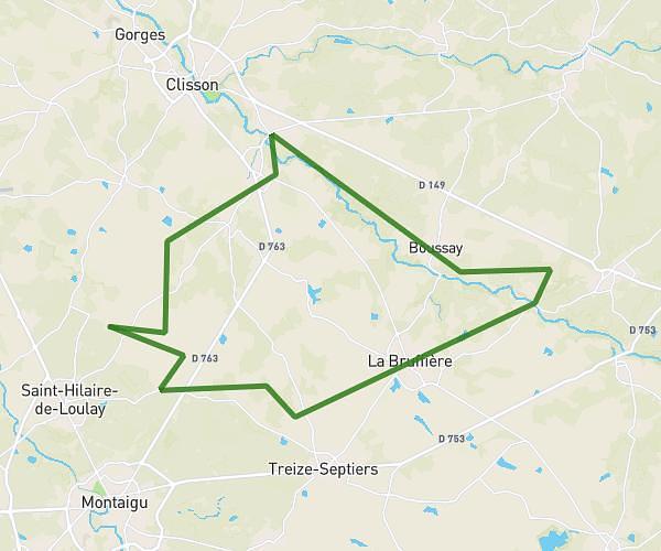
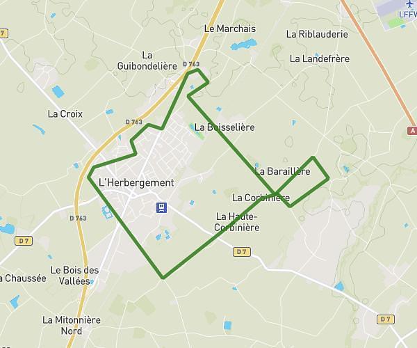
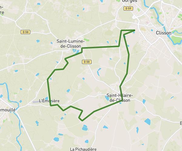
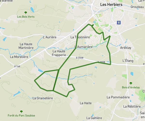
This cycling route covers 10.34mi starting from La Gaubretière, Vendée. The ride is a loop trail and returns to the trailhead. This route is rated as moderate, plan for about 1h50m to complete it. The route has an elevation gain of 463ft and an elevation loss of 463ft.

Route profile

463ft
Elevation gain
463ft
Elevation loss
312ft
Min altitude
463ft
Max altitude

How to get there

Trailhead: 3 Rue Du Onze Novembre, 85130 La Gaubretière, France

GPS coordinates of the trailhead: 46.94469, -1.065257 / 46°56'40'' N, 1°3'54'' W

Caution: May Cross Private Property

This route may pass through or near private property. Always respect posted signs, obtain permission where required, and follow local trespassing laws. MapPlanner does not guarantee public access along any route.

Safety Notice

Trail and road conditions may change without notice due to weather, construction, or other factors. Always verify current conditions before heading out. You are responsible for your own safety — follow local signage, obey traffic laws, and use your best judgment on the trail.