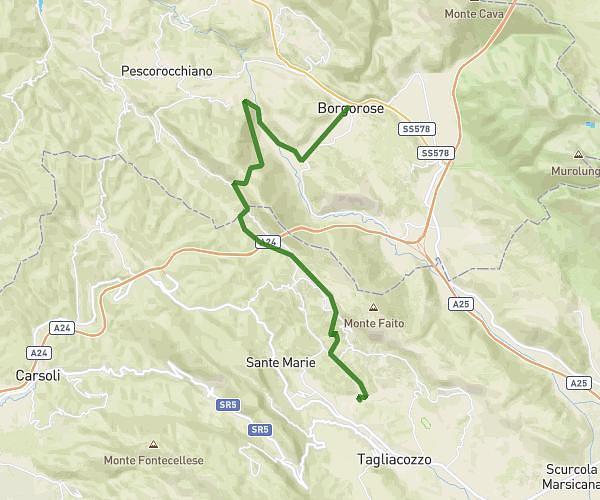
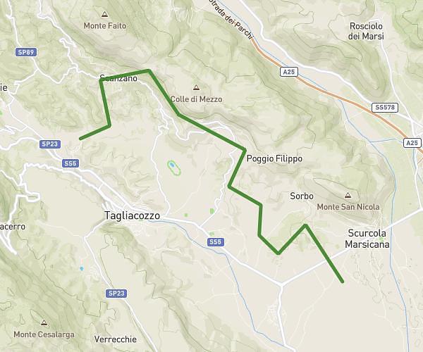
This hiking trail covers 13.486mi starting from Borgorose, Rieti. The hike does not return to the trailhead and ends near Via Fonticchie 4, 67069 Tagliacozzo L'Aquila, Italy. This hike is rated as strenuous, plan for about 5h38m to complete it. The route has an elevation gain of 2477ft and an elevation loss of 2336ft.
Miiii finale2 corto
Route details
2.39mph
Speed
2503 kcal
Calories burned
6.8%
Avg grade
Point to point
Route type
2123ft
Min altitude
3921ft
Max altitude
Route profile
2477ft
Elevation gain
2336ft
Elevation loss
2123ft
Min altitude
3921ft
Max altitude
How to get there
Trailhead: Strada Provinciale 25 Borgorose - Torano 7, 02021 Borgorose Rieti, Italy
GPS coordinates of the trailhead: 42.19339, 13.23266 / 42°11'36'' N, 13°13'57'' E