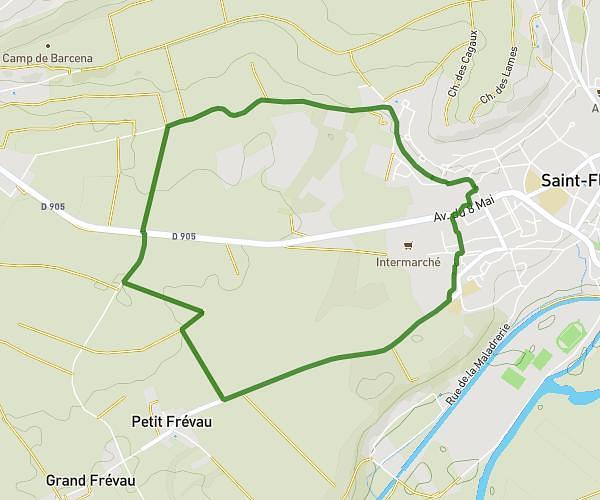
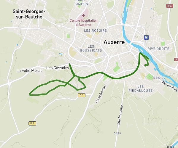
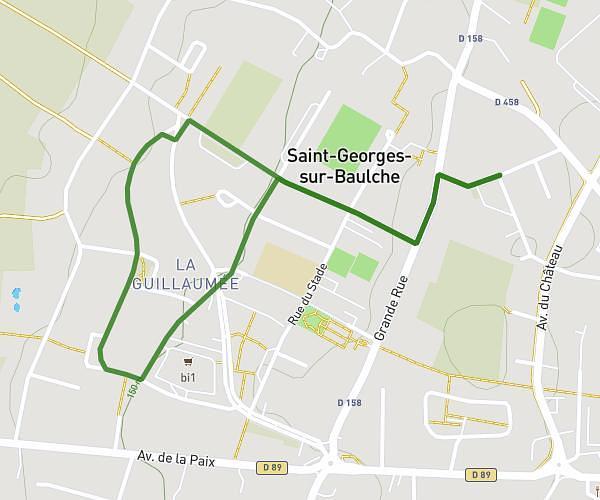
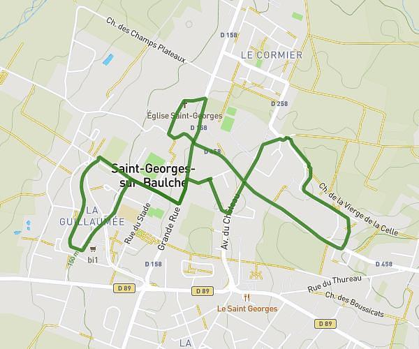
This running route covers 3.57mi starting from Chéu, Yonne. The run is a loop trail and returns to the trailhead. This run is rated as easy, expect about 34m52s to complete it. The route has an elevation gain of 23ft and an elevation loss of 23ft.
course
Route details
6.15mph
Speed
399 kcal
Calories burned
Loop trail
Route type
348ft
Min altitude
371ft
Max altitude
Route profile
23ft
Elevation gain
23ft
Elevation loss
348ft
Min altitude
371ft
Max altitude
How to get there
Trailhead: Rue De Jaulges, 89600 Chéu
GPS coordinates of the trailhead: 47.96454, 3.76892 / 47°57'52'' N, 3°46'8'' E