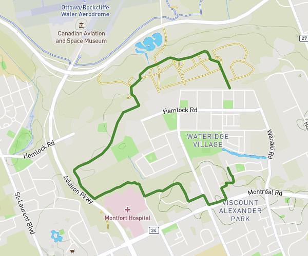
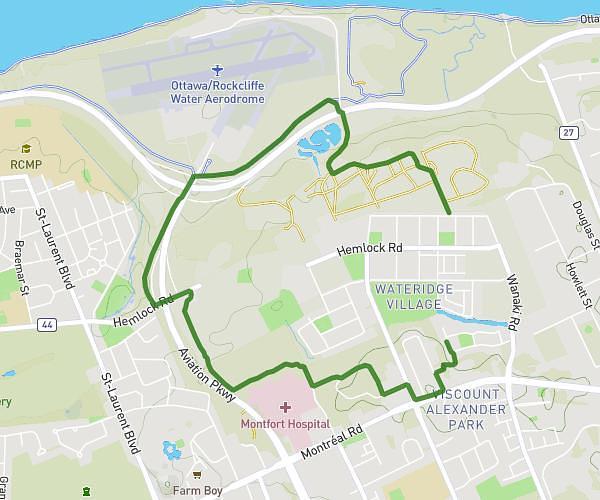
This walking route covers 1.862mi starting from Nepean, Ontario. The walk is a loop trail and returns to the trailhead. This walk is rated as easy, plan for about 36m to complete it. The route has an elevation gain of 62ft and an elevation loss of 62ft.
Day 2 almost 3k
Route details
19:21/mi
Pace
147 kcal
Calories burned
Loop trail
Route type
272ft
Min altitude
305ft
Max altitude
Route profile
62ft
Elevation gain
62ft
Elevation loss
272ft
Min altitude
305ft
Max altitude
How to get there
Trailhead: 37 Howden Avenue, Nepean, Ontario K2G 3H5, Canada
GPS coordinates of the trailhead: 45.343431, -75.756025 / 45°20'36'' N, 75°45'21'' W