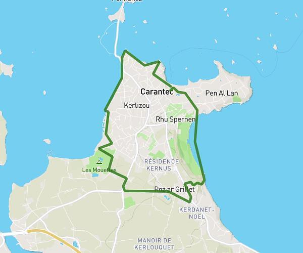
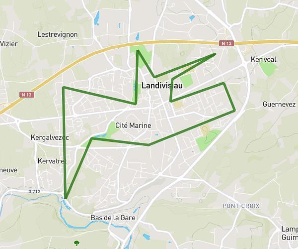
This running route covers 6.069mi starting from Morlaix, Finistère. The run is a loop trail and returns to the trailhead. This run is rated as moderate, expect about 58m36s to complete it. The route has an elevation gain of 157ft and an elevation loss of 141ft.
plouj1
Route details
6.21mph
Speed
670 kcal
Calories burned
Loop trail
Route type
98ft
Min altitude
246ft
Max altitude
Route profile
157ft
Elevation gain
141ft
Elevation loss
98ft
Min altitude
246ft
Max altitude
How to get there
Trailhead: 1 Rue De La Maison De Paille, 29600 Morlaix, France
GPS coordinates of the trailhead: 48.6055, -3.83572 / 48°36'19'' N, 3°50'8'' W