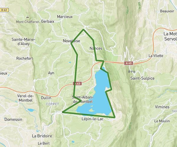
This cycling route covers 18.587mi starting from Sonnaz, Savoie. The ride does not return to the trailhead and ends near Chemin De Sonnaz, 73420 Voglans, France. This route is rated as hard, plan for about 1h24m to complete it. The route has an elevation gain of 1033ft and an elevation loss of 1070ft.
tour depuis sonnaz
Route details
754 kcal
Calories burned
2.1%
Avg grade
Point to point
Route type
755ft
Min altitude
1217ft
Max altitude
Route profile
1033ft
Elevation gain
1070ft
Elevation loss
755ft
Min altitude
1217ft
Max altitude
How to get there
Trailhead: 828 Route D'autigny, 73000 Sonnaz, France
GPS coordinates of the trailhead: 45.621312, 5.905838 / 45°37'16'' N, 5°54'21'' E