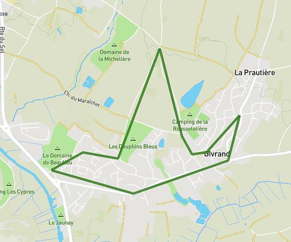
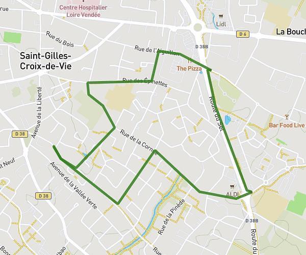
This running route covers 1.591mi starting from Saint-Gilles-Croix-de-Vie, Vendée. The run does not return to the trailhead and ends near 2 Rue Des Fontenelles, 85800 Saint-Gilles-Croix-de-Vie, France. This run is rated as easy, expect about 22m to complete it. The route has an elevation gain of 26ft and an elevation loss of 16ft.
Famille
Route details
4.34mph
Speed
252 kcal
Calories burned
Point to point
Route type
26ft
Min altitude
52ft
Max altitude
Route profile
26ft
Elevation gain
16ft
Elevation loss
26ft
Min altitude
52ft
Max altitude
How to get there
Trailhead: 19 Rue De Bellevue, 85800 Saint-Gilles-Croix-de-Vie, France
GPS coordinates of the trailhead: 46.6881, -1.92454 / 46°41'17'' N, 1°55'28'' W