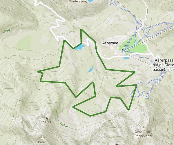
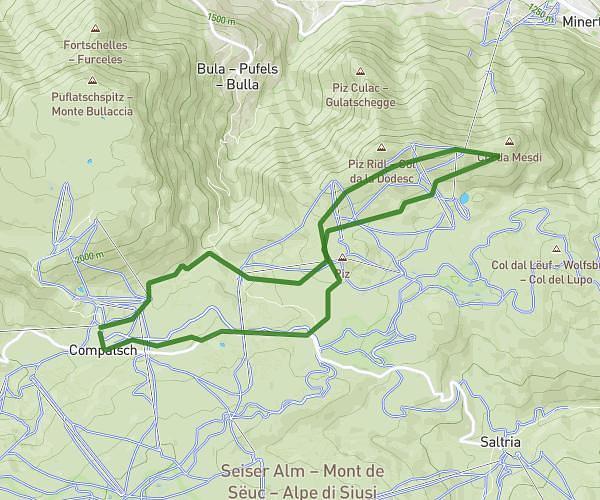
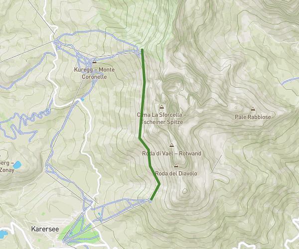
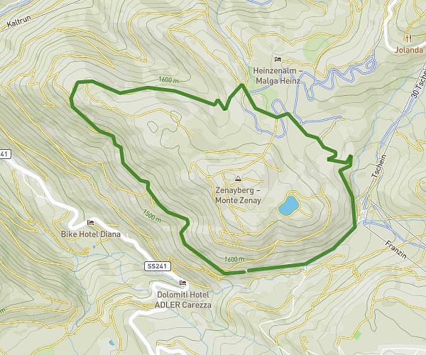
This hiking trail covers 7.644mi starting from Ortisei, South Tyrol. The hike does not return to the trailhead and ends near 8, 39046 Ortisei South Tyrol, Italy. This hike is rated as strenuous, plan for about 3h30m to complete it. The route has an elevation gain of 1053ft and an elevation loss of 2257ft.
Dolomites 2026 Jour 2
Route details
2.17mph
Speed
1540 kcal
Calories burned
8.2%
Avg grade
Point to point
Route type
5656ft
Min altitude
7444ft
Max altitude
Steep climb
Route profile
1053ft
Elevation gain
2257ft
Elevation loss
5656ft
Min altitude
7444ft
Max altitude
How to get there
Trailhead: Via Resciesa 188, 39046 Ortisei South Tyrol, Italy
GPS coordinates of the trailhead: 46.597839, 11.679255 / 46°35'52'' N, 11°40'45'' E