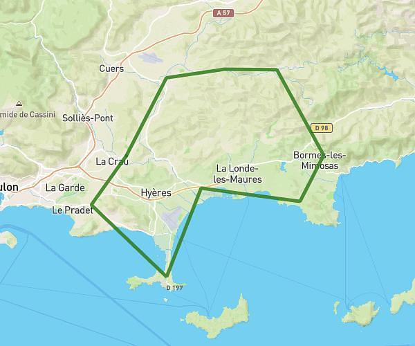
Explore this cycling route of 84.97km starting from La Crau, Var. The ride is a loop and returns to the starting point. This route has no defined difficulty level, plan for about 4h14m to complete it. The route has a positive elevation gain of 580m and a negative elevation loss of 573m.
Carnoules
Route details
Route profile
580m
Elevation +
573m
Elevation -
12m
Min altitude
426m
Max altitude
How to get there
Route starting point: Route De Pierrefeu, 83260 La Crau
GPS coordinates of the starting point: 43.15532, 6.09254 / 43°9'19'' N, 6°5'33'' E
Calculate the time to reach the starting point from your location or an address