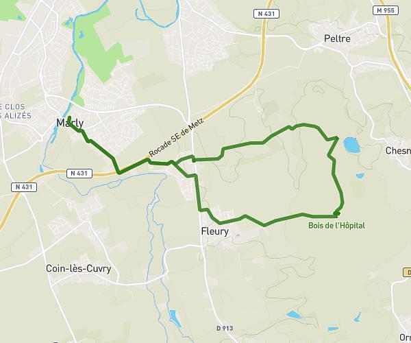
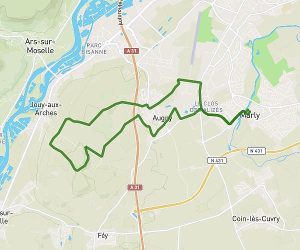
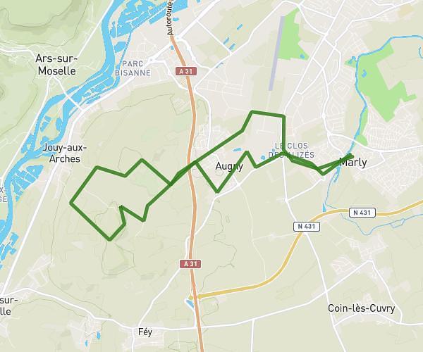
This running route covers 10.058mi starting from Marly, Moselle. The run is a loop trail and returns to the trailhead. This run is rated as hard, expect about 1h48m to complete it. The route has an elevation gain of 942ft and an elevation loss of 945ft.
Augny
Route details
5.59mph
Speed
1235 kcal
Calories burned
Loop trail
Route type
545ft
Min altitude
1024ft
Max altitude
Route profile
942ft
Elevation gain
945ft
Elevation loss
545ft
Min altitude
1024ft
Max altitude
How to get there
Trailhead: 9 Rue Eugène Jouin, 57155 Marly, France
GPS coordinates of the trailhead: 49.061339, 6.153941 / 49°3'40'' N, 6°9'14'' E