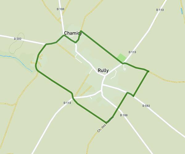
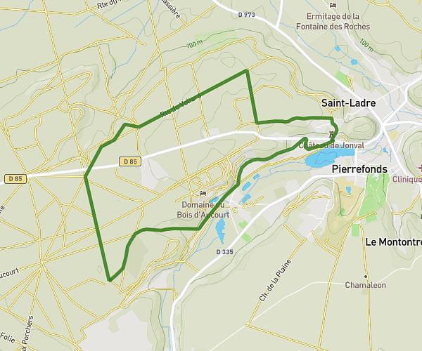
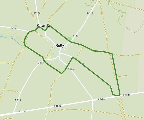
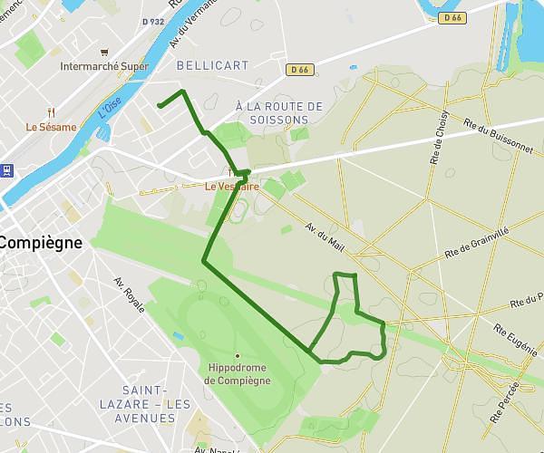
This running route covers 13.982mi starting from Thourotte, Oise. The run does not return to the trailhead and ends near 5 Rue Henri Barbusse, 60150 Thourotte, France. This run is rated as strenuous, expect about 5h16m to complete it. The route has an elevation gain of 85ft and an elevation loss of 39ft.
thourotte
Route details
2.65mph
Speed
3614 kcal
Calories burned
Point to point
Route type
89ft
Min altitude
174ft
Max altitude
Route profile
85ft
Elevation gain
39ft
Elevation loss
89ft
Min altitude
174ft
Max altitude
How to get there
Trailhead: 60 Route De Longueil-Annel, 60150 Thourotte, France
GPS coordinates of the trailhead: 49.472353, 2.873931 / 49°28'20'' N, 2°52'26'' E