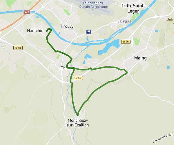
This running route covers 7.584mi starting from Aulnoy-lez-Valenciennes, Nord. The run does not return to the trailhead and ends near 40 Rue René Mirland, 59300 Aulnoy-lez-Valenciennes, France. This run is rated as hard, expect about 3h9m to complete it. The route has an elevation gain of 463ft and an elevation loss of 463ft.
Aulnoy les valenciennes
Route details
2.4mph
Speed
2162 kcal
Calories burned
Point to point
Route type
108ft
Min altitude
203ft
Max altitude
Route profile
463ft
Elevation gain
463ft
Elevation loss
108ft
Min altitude
203ft
Max altitude
How to get there
Trailhead: 78 Rue René Mirland, 59300 Aulnoy-lez-Valenciennes, France
GPS coordinates of the trailhead: 50.325317, 3.526951 / 50°19'31'' N, 3°31'37'' E