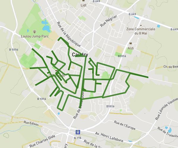
This running route covers 4.438mi starting from Bellaing, Nord. The run does not return to the trailhead and ends near 8 Domaine Du Château, 59135 Bellaing, France. This run is rated as easy, expect about 1h46m to complete it. The route has an elevation gain of 187ft and an elevation loss of 230ft.
bellaing
Route details
2.51mph
Speed
1212 kcal
Calories burned
Point to point
Route type
79ft
Min altitude
148ft
Max altitude
Route profile
187ft
Elevation gain
230ft
Elevation loss
79ft
Min altitude
148ft
Max altitude
How to get there
Trailhead: 1 Rue Du Meunier, 59135 Bellaing, France
GPS coordinates of the trailhead: 50.366193, 3.435349 / 50°21'58'' N, 3°26'7'' E