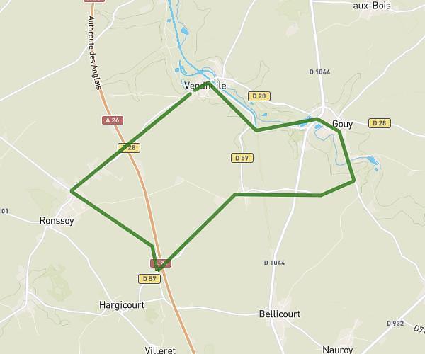
This running route covers 11.385mi starting from Cambrai, Nord. The run does not return to the trailhead and ends near 13 Rue D'oslo, 59400 Cambrai, France. This run is rated as strenuous, expect about 4h31m to complete it. The route has an elevation gain of 630ft and an elevation loss of 584ft.
cambrai 1
Route details
2.52mph
Speed
3104 kcal
Calories burned
Point to point
Route type
200ft
Min altitude
318ft
Max altitude
Route profile
630ft
Elevation gain
584ft
Elevation loss
200ft
Min altitude
318ft
Max altitude
How to get there
Trailhead: 275a Rue Saint-Ladre, 59400 Cambrai, France
GPS coordinates of the trailhead: 50.158421, 3.253349 / 50°9'30'' N, 3°15'12'' E