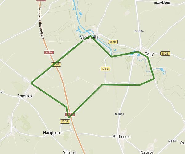
This running route covers 7.842mi starting from Escaudœuvres, Nord. The run does not return to the trailhead and ends near 191 Rue Jean Jaurès, 59161 Escaudœuvres, France. This run is rated as hard, expect about 3h11m to complete it. The route has an elevation gain of 453ft and an elevation loss of 482ft.
escaudoeuvres
Route details
2.46mph
Speed
2184 kcal
Calories burned
Point to point
Route type
131ft
Min altitude
223ft
Max altitude
Route profile
453ft
Elevation gain
482ft
Elevation loss
131ft
Min altitude
223ft
Max altitude
How to get there
Trailhead: 3 Rue Jean Jaurès, 59161 Escaudœuvres, France
GPS coordinates of the trailhead: 50.185304, 3.2545 / 50°11'7'' N, 3°15'16'' E