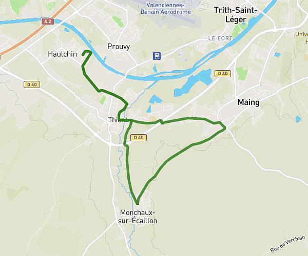
This running route covers 14.227mi starting from Fresnes-sur-Escaut, Nord. The run does not return to the trailhead and ends near 586 Rue Émile Tabary, 59970 Fresnes-sur-Escaut, France. This run is rated as strenuous, expect about 4h52m to complete it. The route has an elevation gain of 13ft and an elevation loss of 7ft.
fresnes sur escaut
Route details
2.92mph
Speed
3339 kcal
Calories burned
Point to point
Route type
59ft
Min altitude
72ft
Max altitude
Route profile
13ft
Elevation gain
7ft
Elevation loss
59ft
Min altitude
72ft
Max altitude
How to get there
Trailhead: 219 Rue Jean Jaurès, 59970 Fresnes-sur-Escaut, France
GPS coordinates of the trailhead: 50.428142, 3.569225 / 50°25'41'' N, 3°34'9'' E