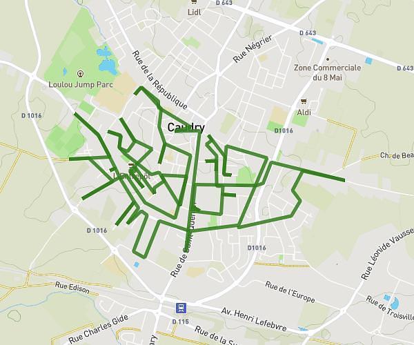
This running route covers 11.535mi starting from Maing, Nord. The run does not return to the trailhead and ends near 20 Rue Roger Salengro, 59233 Maing, France. This run is rated as strenuous, expect about 4h40m to complete it. The route has an elevation gain of 33ft and an elevation loss of 105ft.
maing
Route details
2.47mph
Speed
3201 kcal
Calories burned
Point to point
Route type
98ft
Min altitude
171ft
Max altitude
Route profile
33ft
Elevation gain
105ft
Elevation loss
98ft
Min altitude
171ft
Max altitude
How to get there
Trailhead: 4 Clos Pablo Picasso, 59233 Maing, France
GPS coordinates of the trailhead: 50.303768, 3.489894 / 50°18'13'' N, 3°29'23'' E