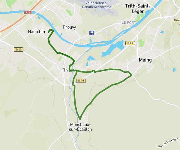
This running route covers 16.046mi starting from Onnaing, Nord. The run does not return to the trailhead and ends near 130 Rue De L'industrie, 59264 Onnaing, France. This run is rated as strenuous, expect about 5h46m to complete it. The route has an elevation gain of 7ft and an elevation loss of 33ft.
onnaing
Route details
2.78mph
Speed
3956 kcal
Calories burned
Point to point
Route type
69ft
Min altitude
102ft
Max altitude
Route profile
7ft
Elevation gain
33ft
Elevation loss
69ft
Min altitude
102ft
Max altitude
How to get there
Trailhead: 33 Rue Parmentier, 59264 Onnaing, France
GPS coordinates of the trailhead: 50.382523, 3.604571 / 50°22'57'' N, 3°36'16'' E