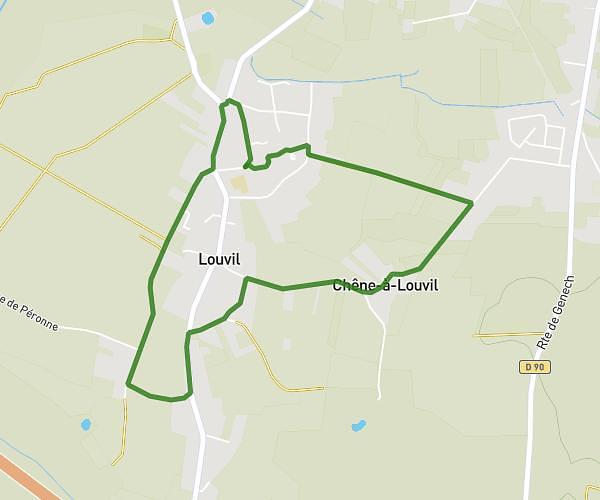
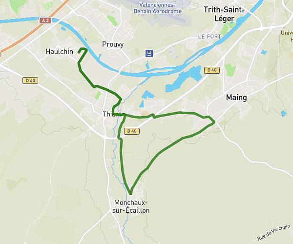
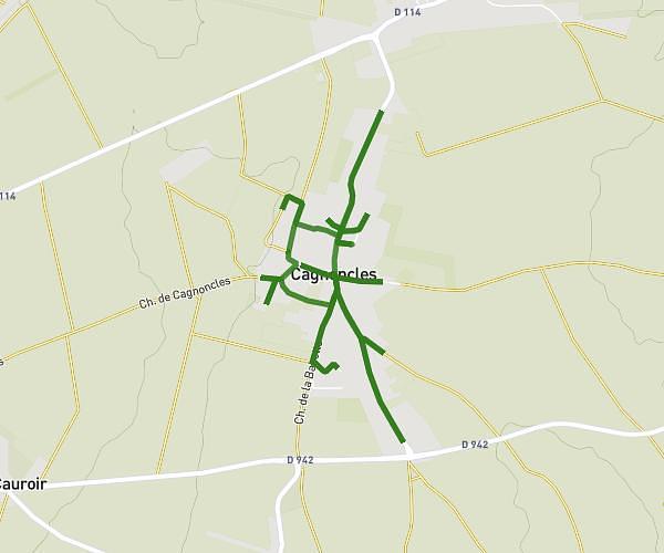
This running route covers 11.149mi starting from Petite-Forêt, Nord. The run does not return to the trailhead and ends near 53 Avenue De Correzzola, 59494 Petite-Forêt, France. This run is rated as hard, expect about 4h25m to complete it. The route has an elevation gain of 440ft and an elevation loss of 489ft.
petite foret
Route details
2.52mph
Speed
3039 kcal
Calories burned
Point to point
Route type
95ft
Min altitude
157ft
Max altitude
Route profile
440ft
Elevation gain
489ft
Elevation loss
95ft
Min altitude
157ft
Max altitude
How to get there
Trailhead: 142 Rue Jean Jaurès, 59494 Petite-Forêt, France
GPS coordinates of the trailhead: 50.365854, 3.483164 / 50°21'57'' N, 3°28'59'' E