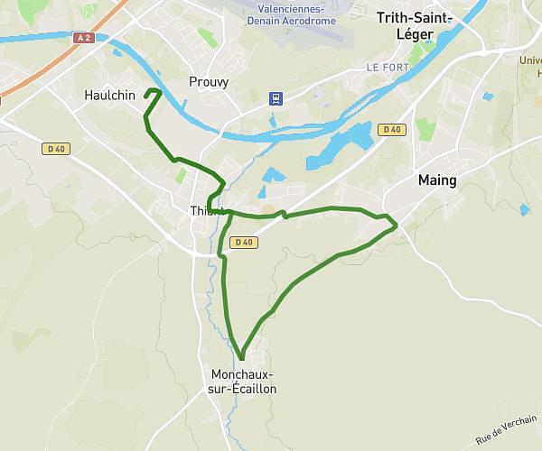
This running route covers 12.432mi starting from Saint-Saulve, Nord. The run does not return to the trailhead and ends near 2 Rue Victor Hugo, 59880 Saint-Saulve, France. This run is rated as strenuous, expect about 4h56m to complete it. The route has an elevation gain of 75ft and an elevation loss of 39ft.
saint saulve
Route details
2.52mph
Speed
3384 kcal
Calories burned
Point to point
Route type
72ft
Min altitude
148ft
Max altitude
Route profile
75ft
Elevation gain
39ft
Elevation loss
72ft
Min altitude
148ft
Max altitude
How to get there
Trailhead: 1991 Rue Jean Jaurès, 59880 Saint-Saulve, France
GPS coordinates of the trailhead: 50.375218, 3.568064 / 50°22'30'' N, 3°34'5'' E