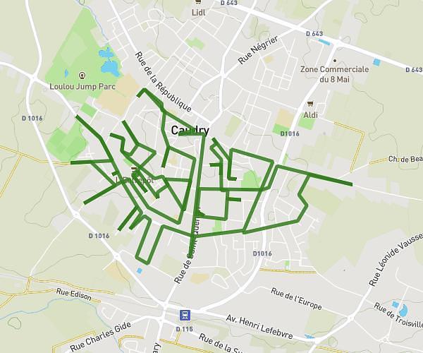
This running route covers 16.113mi starting from Saint-Saulve, Nord. The run does not return to the trailhead and ends near 2 Rue Pierre Corneille, 59880 Saint-Saulve, France. This run is rated as strenuous, expect about 6h13m to complete it. The route has an elevation gain of 0ft and an elevation loss of 56ft.
saint saulve 1
Route details
2.59mph
Speed
4265 kcal
Calories burned
Point to point
Route type
102ft
Min altitude
157ft
Max altitude
Route profile
0ft
Elevation gain
56ft
Elevation loss
102ft
Min altitude
157ft
Max altitude
How to get there
Trailhead: 32 Rue Georges Guynemer, 59880 Saint-Saulve, France
GPS coordinates of the trailhead: 50.361316, 3.563372 / 50°21'40'' N, 3°33'48'' E