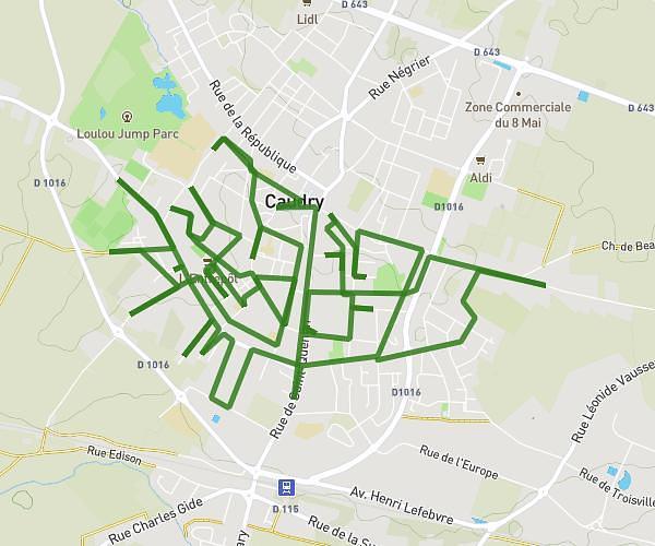
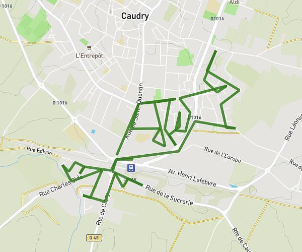
This running route covers 5.682mi starting from Saultain, Nord. The run does not return to the trailhead and ends near 15 Rue Des Fontaines, 59990 Saultain, France. This run is rated as moderate, expect about 2h20m to complete it. The route has an elevation gain of 16ft and an elevation loss of 23ft.
saultain
Route details
2.44mph
Speed
1601 kcal
Calories burned
Point to point
Route type
226ft
Min altitude
249ft
Max altitude
Route profile
16ft
Elevation gain
23ft
Elevation loss
226ft
Min altitude
249ft
Max altitude
How to get there
Trailhead: 152 Avenue Henri Barbusse, 59990 Saultain, France
GPS coordinates of the trailhead: 50.334752, 3.586821 / 50°20'5'' N, 3°35'12'' E