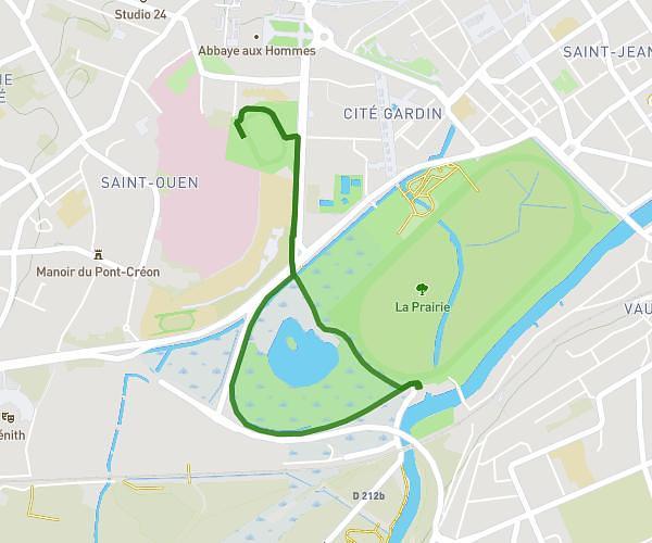
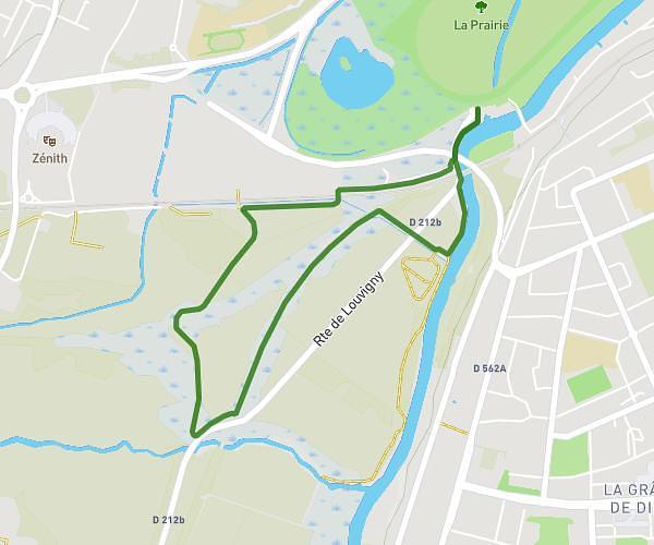
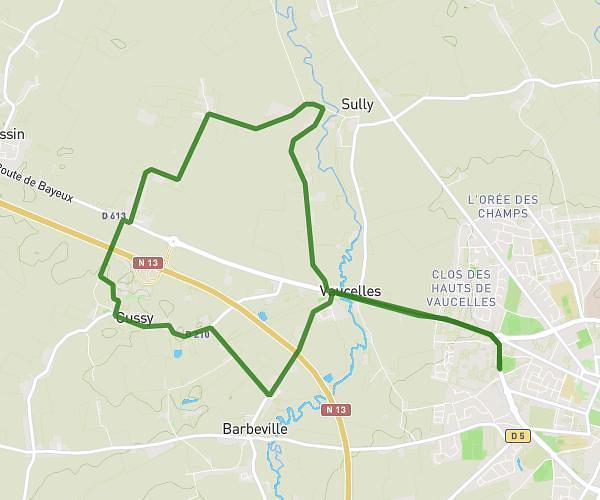
This running route covers 4.954mi starting from Caen, Calvados. The run is a loop trail and returns to the trailhead. This run is rated as easy, expect about 56m16s to complete it. The route has an elevation gain of 203ft and an elevation loss of 207ft.
27/02/2025 PROCHE 8KM
Route details
5.28mph
Speed
643 kcal
Calories burned
Loop trail
Route type
7ft
Min altitude
52ft
Max altitude
Route profile
203ft
Elevation gain
207ft
Elevation loss
7ft
Min altitude
52ft
Max altitude
How to get there
Trailhead: Rue Du Pont Créon, 14000 Caen
GPS coordinates of the trailhead: 49.17669, -0.37981 / 49°10'36'' N, 0°22'47'' W