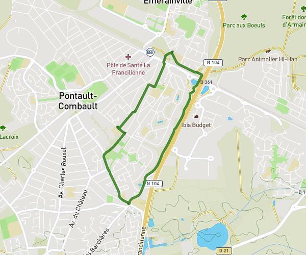
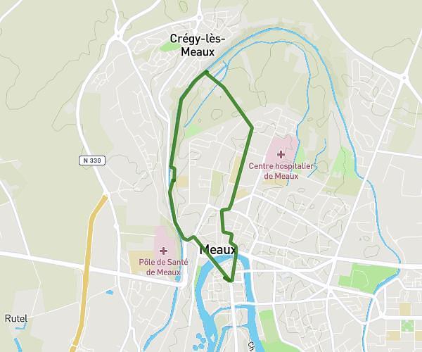
This running route covers 3.451mi starting from Meaux, Seine-et-Marne. The run is a loop trail and returns to the trailhead. This run is rated as easy, expect about 31m to complete it. The route has an elevation gain of 16ft and an elevation loss of 13ft.
Chemin blanc
Route details
6.68mph
Speed
354 kcal
Calories burned
Loop trail
Route type
154ft
Min altitude
164ft
Max altitude
Route profile
16ft
Elevation gain
13ft
Elevation loss
154ft
Min altitude
164ft
Max altitude
How to get there
Trailhead: 64 Rue Croix Saint-Loup, 77100 Meaux, France
GPS coordinates of the trailhead: 48.9598, 2.89106 / 48°57'35'' N, 2°53'27'' E