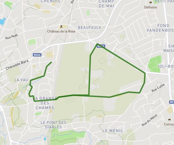
This running route covers 3.183mi starting from Anderlecht, Brussels-Capital. The run is a loop trail and returns to the trailhead. This run is rated as easy, expect about 34m to complete it. The route has an elevation gain of 52ft and an elevation loss of 43ft.
RUN Impulsion 5 Km
Route details
5.62mph
Speed
389 kcal
Calories burned
Loop trail
Route type
89ft
Min altitude
141ft
Max altitude
Route profile
52ft
Elevation gain
43ft
Elevation loss
89ft
Min altitude
141ft
Max altitude
How to get there
Trailhead: Rue Meylemeersch - Mijlenmeersstraat 48, 1070 Anderlecht, Brussels-Capital, Belgium
GPS coordinates of the trailhead: 50.812113, 4.264178 / 50°48'43'' N, 4°15'51'' E