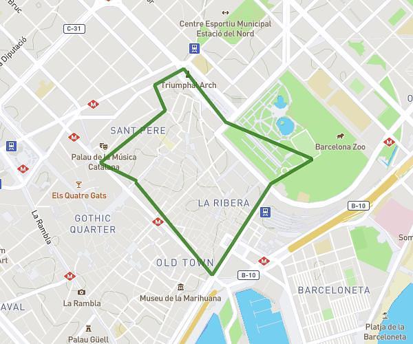
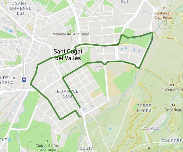
This running route covers 2.83mi starting from Castellar del Vallès, Barcelona. The run is a loop trail and returns to the trailhead. This run is rated as easy, expect about 32m39s to complete it. The route has an elevation gain of 66ft and an elevation loss of 72ft.
1a cursa de la dona Vila de Castellar
Route details
5.2mph
Speed
373 kcal
Calories burned
Loop trail
Route type
984ft
Min altitude
1056ft
Max altitude
Route profile
66ft
Elevation gain
72ft
Elevation loss
984ft
Min altitude
1056ft
Max altitude
How to get there
Trailhead: Carretera De Sabadell 50, 08211 Castellar del Vallès, Barcelona, Spain
GPS coordinates of the trailhead: 41.609187, 2.084412 / 41°36'33'' N, 2°5'3'' E