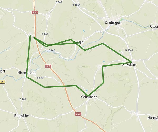
This cycling route covers 6.19mi starting from Friedolsheim, Bas-Rhin. The ride does not return to the trailhead and ends near Chemin Du Goldbuch, 67520 Nordheim. This route is rated as moderate, plan for about 1h to complete it. The route has an elevation gain of 879ft and an elevation loss of 433ft.
Aller marche gourmande
Route details
544 kcal
Calories burned
4.0%
Avg grade
Point to point
Route type
633ft
Min altitude
1204ft
Max altitude
Route profile
879ft
Elevation gain
433ft
Elevation loss
633ft
Min altitude
1204ft
Max altitude
How to get there
Trailhead: Rue Des Jardins, 67490 Friedolsheim
GPS coordinates of the trailhead: 48.70819, 7.48417 / 48°42'29'' N, 7°29'3'' E