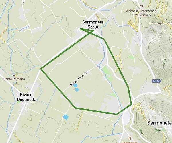
This running route covers 4.659mi starting from San Felice Circeo, Latina. The run is a loop trail and returns to the trailhead. This run is rated as easy, expect about 42m to complete it. The route has an elevation gain of 20ft and an elevation loss of 13ft.
Corsa 1
Route details
6.65mph
Speed
480 kcal
Calories burned
Loop trail
Route type
7ft
Min altitude
23ft
Max altitude
Route profile
20ft
Elevation gain
13ft
Elevation loss
7ft
Min altitude
23ft
Max altitude
How to get there
Trailhead: Via Del Colle 2a, 04017 San Felice Circeo Latina, Italy
GPS coordinates of the trailhead: 41.24359, 13.09523 / 41°14'36'' N, 13°5'42'' E