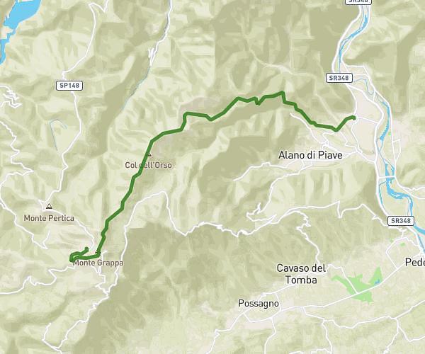
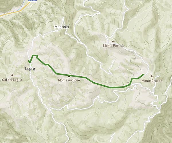
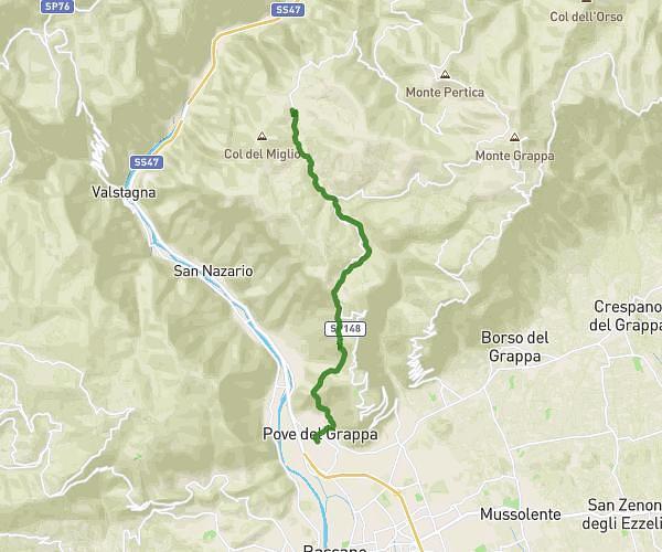
This hiking trail covers 5.712mi starting from Valbrenta, Vicenza. The hike does not return to the trailhead and ends near 32031 Alano di Piave. This hike is rated as moderate, plan for about 4h35m to complete it. The route has an elevation gain of 1568ft and an elevation loss of 1562ft.
SOLAROLI
Route details
1.24mph
Speed
2098 kcal
Calories burned
10.4%
Avg grade
Point to point
Route type
4931ft
Min altitude
5774ft
Max altitude
Steep climb
Route profile
1568ft
Elevation gain
1562ft
Elevation loss
4931ft
Min altitude
5774ft
Max altitude
How to get there
Trailhead: Strada Provinciale 148 Cadorna, 36020 Valbrenta
GPS coordinates of the trailhead: 45.8746, 11.79315 / 45°52'28'' N, 11°47'35'' E