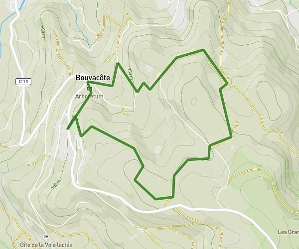
This hiking trail covers 3.379mi starting from Gerbamont, Vosges. The hike is a loop trail and returns to the trailhead. This hike is rated as hard, plan for about 2h to complete it. The route has an elevation gain of 974ft and an elevation loss of 974ft.
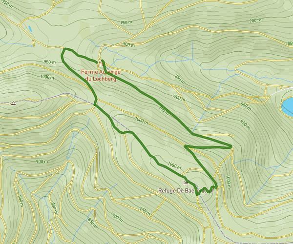
fouchure 5.5 km
Route details
1.69mph
Speed
916 kcal
Calories burned
10.9%
Avg grade
Loop trail
Route type
2500ft
Min altitude
3232ft
Max altitude
Steep climb
Route profile
974ft
Elevation gain
974ft
Elevation loss
2500ft
Min altitude
3232ft
Max altitude
How to get there
Trailhead: 4330 Route Des Plateaux, 88120 Gerbamont, France
GPS coordinates of the trailhead: 47.994349, 6.772332 / 47°59'39'' N, 6°46'20'' E