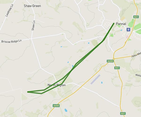
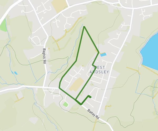
This walking route covers 2.023mi starting from Harrogate, England. The walk is a loop trail and returns to the trailhead. This walk is rated as easy, plan for about 45m to complete it. The route has an elevation gain of 187ft and an elevation loss of 187ft.
Gentle Stroll 45m
Route details
22:15/mi
Pace
184 kcal
Calories burned
Loop trail
Route type
262ft
Min altitude
420ft
Max altitude
Route profile
187ft
Elevation gain
187ft
Elevation loss
262ft
Min altitude
420ft
Max altitude
How to get there
Trailhead: 45 Westminster Crescent, Pannal, Harrogate, HG3 1LX, United Kingdom
GPS coordinates of the trailhead: 53.9607, -1.54139 / 53°57'38'' N, 1°32'29'' W