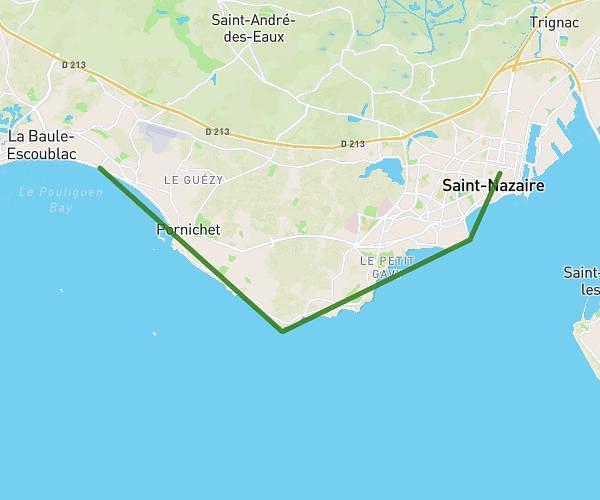
Explore this hiking route of 0,782mi starting from Saint-Nazaire, Loire-Atlantique. The hike does not return to the starting point and ends near 32 Rue Du Maine, 44600 Saint-Nazaire, France. This hike has no defined difficulty level, plan for about 20m to complete it. The route has a positive elevation gain of 66ft and a negative elevation loss of 30ft.
rando
Route details
Route profile
66ft
Elevation +
30ft
Elevation -
16ft
Min altitude
52ft
Max altitude
How to get there
Route starting point: 30 Boulevard Willy Brandt, 44600 Saint-Nazaire, France
GPS coordinates of the starting point: 47.28639, -2.2111 / 47°17'11'' N, 2°12'39'' W