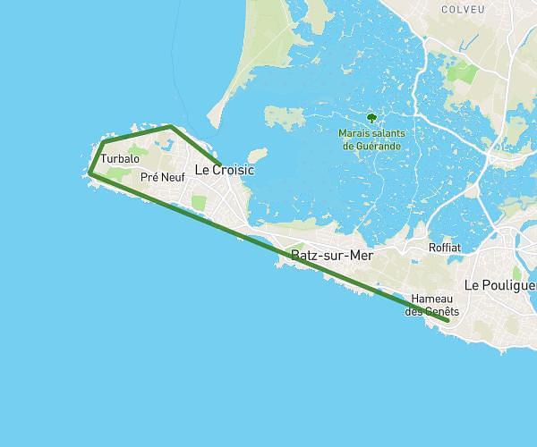
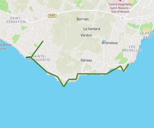
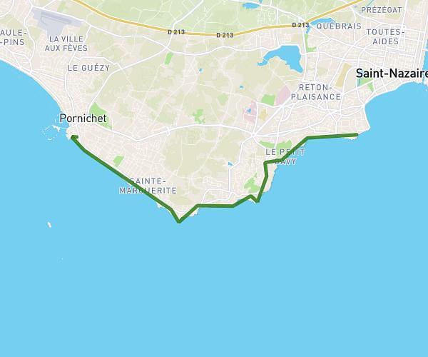
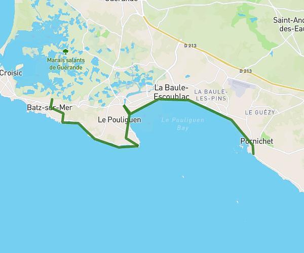
This hiking trail covers 12.95mi starting from Saint-Nazaire, Loire-Atlantique. The hike does not return to the trailhead and ends near 35 Boulevard De L'océan, 44500 La Baule-Escoublac, France. This hike is rated as moderate, plan for about 4h37m to complete it. The route has an elevation gain of 568ft and an elevation loss of 587ft.
étape 2
Route details
2.8mph
Speed
1972 kcal
Calories burned
1.7%
Avg grade
Point to point
Route type
7ft
Min altitude
105ft
Max altitude
Route profile
568ft
Elevation gain
587ft
Elevation loss
7ft
Min altitude
105ft
Max altitude
How to get there
Trailhead: 32 Rue Du Maine, 44600 Saint-Nazaire, France
GPS coordinates of the trailhead: 47.27661, -2.21121 / 47°16'35'' N, 2°12'40'' W