Plan and follow your routes,
even without signal.
Offline maps and route calculation: change your way during your outing, the app redraws the route on the spot.
You're signed up. A confirmation email is on its way. You'll get the invitation as soon as the beta opens.
Your MapPlanner account already works in the app
Plan, follow and record your outings.
The tools of the MapPlanner website, adapted to your phone so you can use them while you're out.
Plan your route
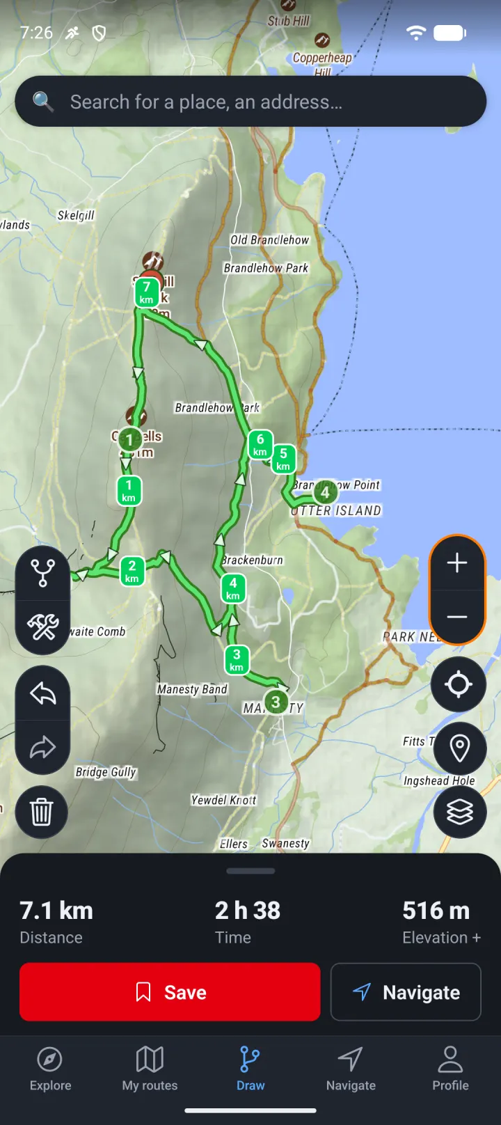
Tap the map to place your points: the route automatically follows the trails and roads suited to your activity (hiking, cycling, running or walking). Distance, elevation gain, estimated time and difficulty update as you go.
Generate a loop
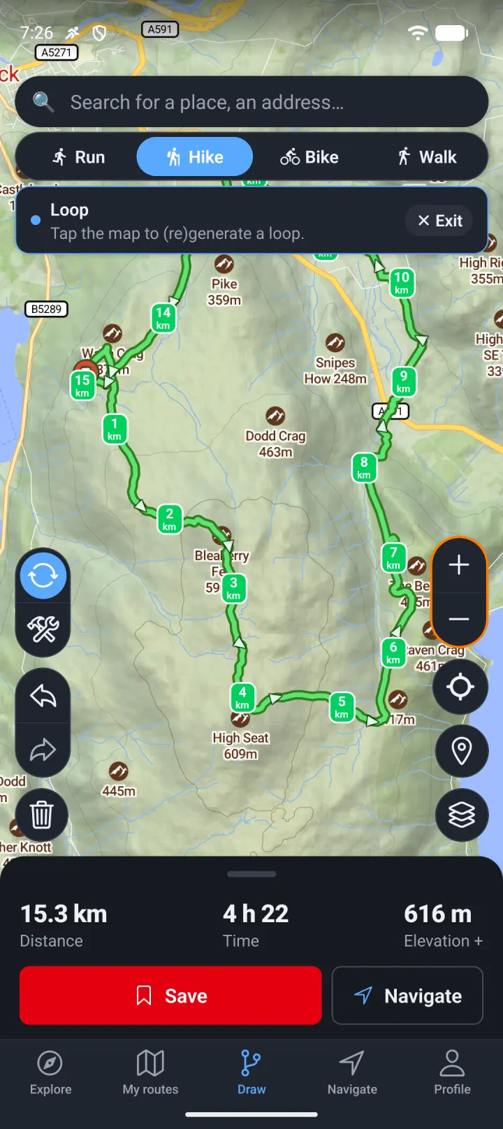
Enter a distance or a time: MapPlanner suggests loops that bring you back to your starting point. A shaded area on the map shows how far you can get in the time you have.
See the terrain ahead
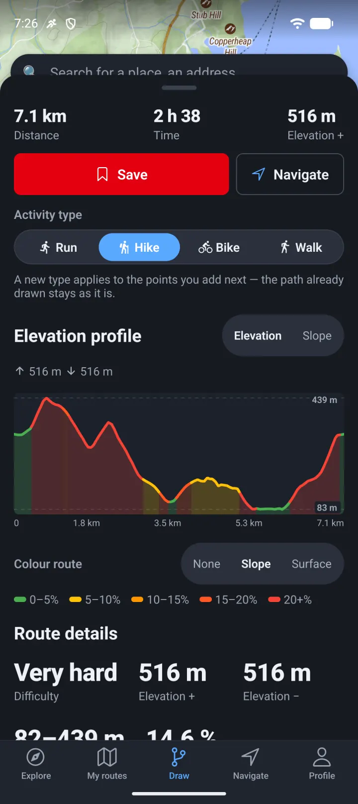
The elevation profile colours each climb by its gradient. On the map, show the slope or the surface type to spot the hard sections before you set off.
Follow the route
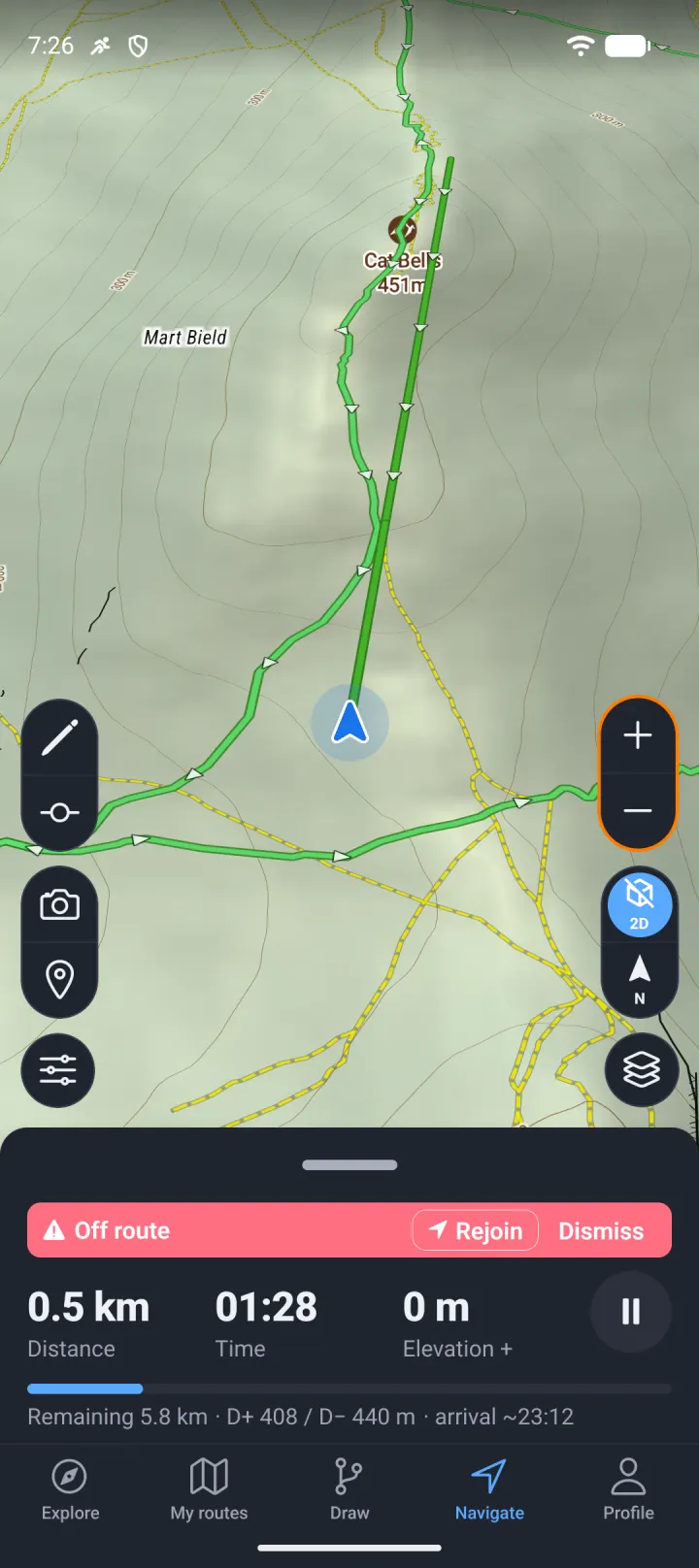
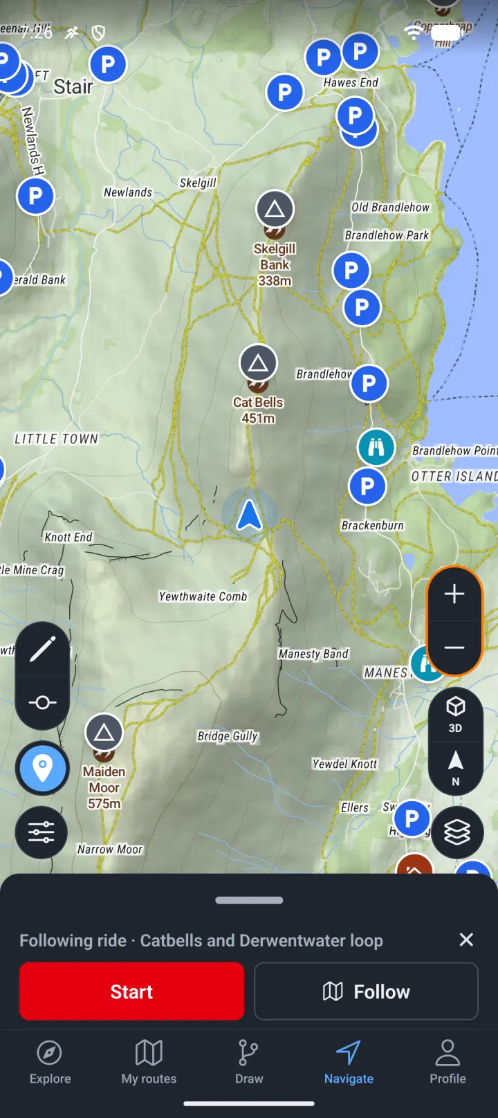
During your outing, the map tracks your position in 3D, facing the way you're heading. An alert warns you if you leave the route, and the screen can stay on the whole way.
Maps and routes offline
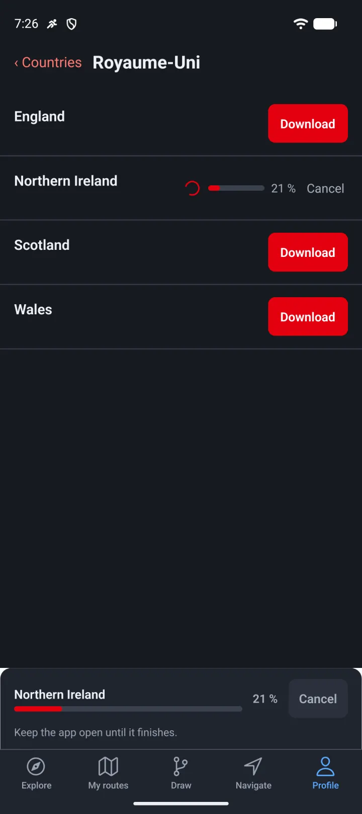
Download the region before you go: the map, points of interest and route calculation stay available without signal. Changing your way en route? The app redraws the route on the spot.
Record your outings
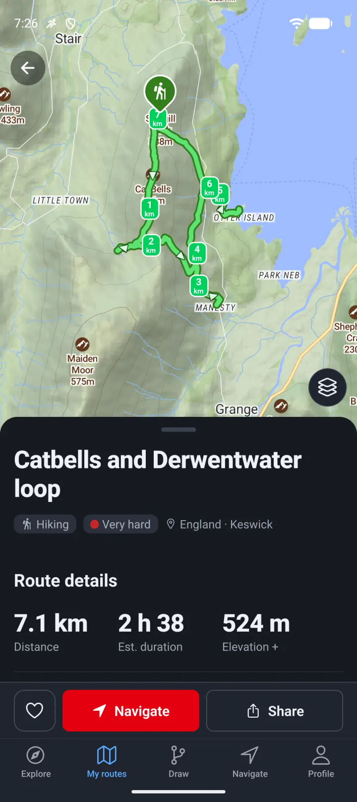
Your track, photos and stats are saved to your account and available on the website too. Share the outing or export it as GPX.
Want to try it first?
Pick your phone and leave your email: we'll send you the invitation as soon as the beta opens.
You're signed up. A confirmation email is on its way. You'll get the invitation as soon as the beta opens.
How far the app can take you.
Points of interest
Drinking water, shelters, parking: useful places shown along your route.
Map styles
Outdoor, satellite or relief: pick the map that suits you, the app remembers it.
GPX import and export
Import a friend's track, export yours to your watch or GPS.
Route weather
The forecast along your route, to pick the right day and the right time.
Live tracking
Follow on the map a friend who shares their outing in real time.
Multi-day trips
Split a long route into stages, each with its own distance and elevation gain.
Collections and favourites
Organise your routes and the community's so you can find them easily.
Community reviews
Explore the routes published near you, rate them and read what others thought.
Light or dark theme
A light and a dark theme, in English, French, German, Italian and Spanish.
Plan on your computer, head out with your phone.
-
Plan on the big screen
Draw your route on the website and check the elevation gain, difficulty and estimated time.
-
Find it in the app
Sign in with the same account: your route is already there. Download the region to use it without signal.
-
See your outing on the website
The outing recorded with the app appears on the website with its stats, ready to share or export.
One account and one Explorer subscription, valid on the website and in the app.
The app in pictures.
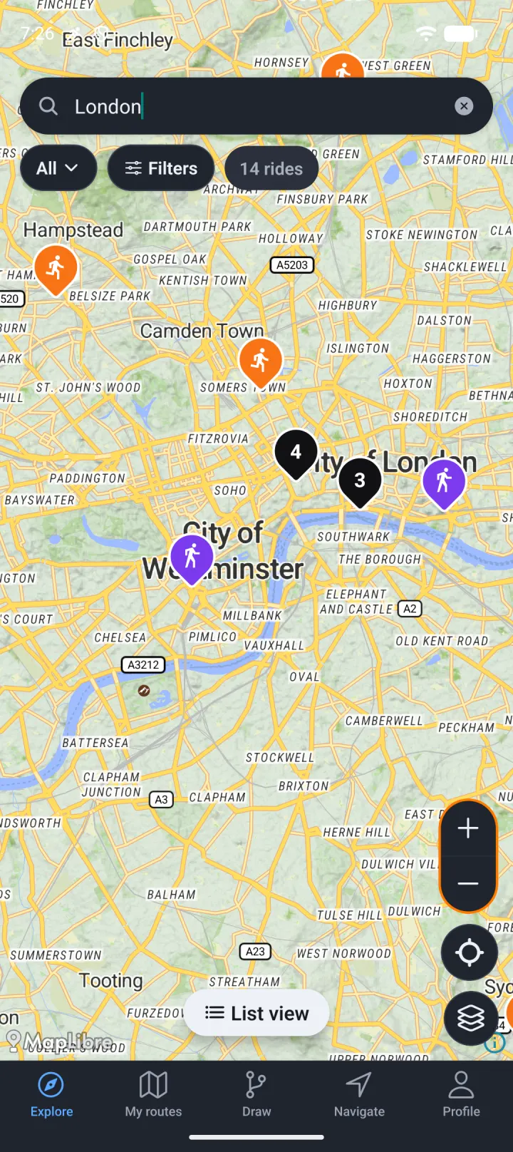
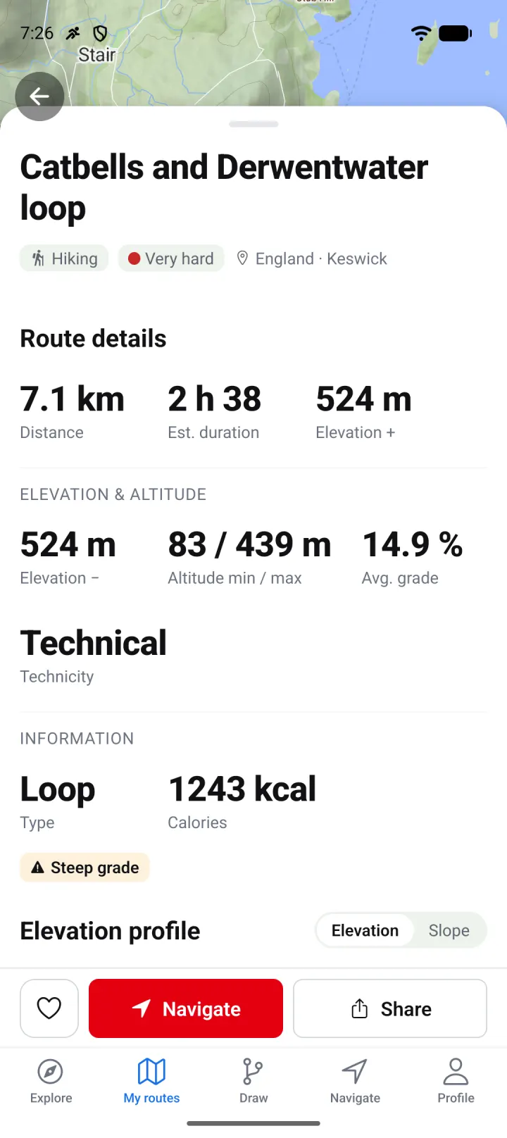
Screenshots taken in the app, around Catbells in the Lake District.
Join the first explorers.
The beta opens soon on Android and iOS. We're looking for hikers, cyclists and runners who head out regularly and will tell us what works and what's missing.
- Access to the app before it's released on Google Play and the App Store
- Direct contact with the team: every piece of feedback is read
- Free sign-up, no commitment
You're signed up.
A confirmation email is on its way. You'll get the invitation as soon as the beta opens.
Draw a route in the meantimeFrequently asked questions
When is the app coming out?
The beta opens to sign-ups first, then the app will be published on Google Play and the App Store. We'll let you know by email at each step.
How does the beta work?
You get an invitation by email: a Google Play closed test on Android, TestFlight on iPhone. You install the app, use it on your outings and tell us what works and what doesn't.
Is the app free?
Yes. Drawing a route is free, just like on the website, and a free account is enough to record your outings. The Explorer subscription unlocks the advanced features, on the web and in the app.
Can I use my current MapPlanner account?
Yes. Log in with your usual credentials: your routes are already there.
Are my routes synced between the web and the app?
Yes. A route drawn on the website appears in the app, and an outing recorded with the app shows up on the website with its stats.
Does it work without signal?
Yes. Download your regions in advance: the map, points of interest and route calculation stay available offline. The number of regions is limited on the free plan and unlimited with Explorer.
Which phones are supported?
Android phones running 8.0 or later, and iPhones running iOS 16.4 or later.