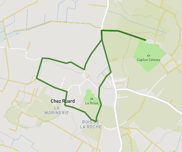
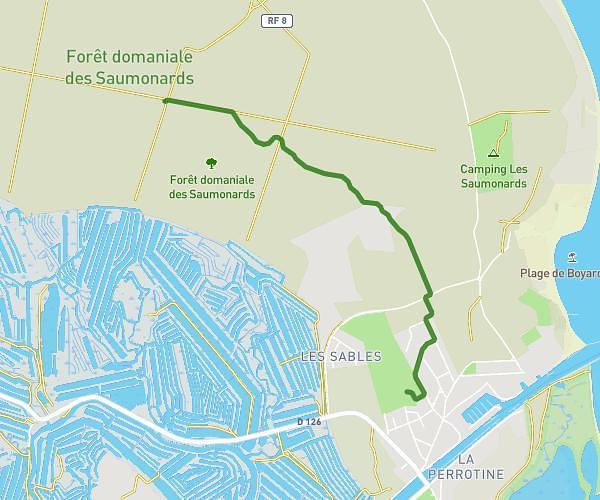
This running route covers 0.722mi starting from Rochefort, Charente-Maritime. The run does not return to the trailhead and ends near 106 Rue Des Pêcheurs D'islande, 17300 Rochefort, France. This run is rated as easy, expect about 8m to complete it. The route has an elevation gain of 20ft and an elevation loss of 23ft.
Test
Route details
5.42mph
Speed
91 kcal
Calories burned
Point to point
Route type
0ft
Min altitude
20ft
Max altitude
Route profile
20ft
Elevation gain
23ft
Elevation loss
0ft
Min altitude
20ft
Max altitude
How to get there
Trailhead: Chemin De Charente, 17300 Rochefort, France
GPS coordinates of the trailhead: 45.93139, -1.00429 / 45°55'53'' N, 1°0'15'' W