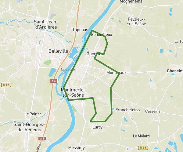
This running route covers 3.163mi starting from Régnié-Durette, Rhône. The run is a loop trail and returns to the trailhead. This run is rated as easy, expect about 34m to complete it. The route has an elevation gain of 295ft and an elevation loss of 338ft.
Regnié
Route details
5.58mph
Speed
389 kcal
Calories burned
Loop trail
Route type
804ft
Min altitude
1053ft
Max altitude
Route profile
295ft
Elevation gain
338ft
Elevation loss
804ft
Min altitude
1053ft
Max altitude
How to get there
Trailhead: Route Des Reyssiers, 69430 Régnié-Durette, France
GPS coordinates of the trailhead: 46.136363, 4.642627 / 46°8'10'' N, 4°38'33'' E