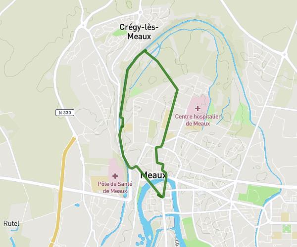
This running route covers 3.149mi starting from Les Pavillons-sous-Bois, Seine-Saint-Denis. The run is a loop trail and returns to the trailhead. This run is rated as easy, expect about 28m57s to complete it. The route has an elevation gain of 89ft and an elevation loss of 92ft.
Canal de l'Ourcq 5k
Route details
6.52mph
Speed
331 kcal
Calories burned
Loop trail
Route type
167ft
Min altitude
180ft
Max altitude
Route profile
89ft
Elevation gain
92ft
Elevation loss
167ft
Min altitude
180ft
Max altitude
How to get there
Trailhead: 2 Allée De L'abbé Alfonsi, 93320 Les Pavillons-sous-Bois, France
GPS coordinates of the trailhead: 48.916291, 2.504237 / 48°54'58'' N, 2°30'15'' E