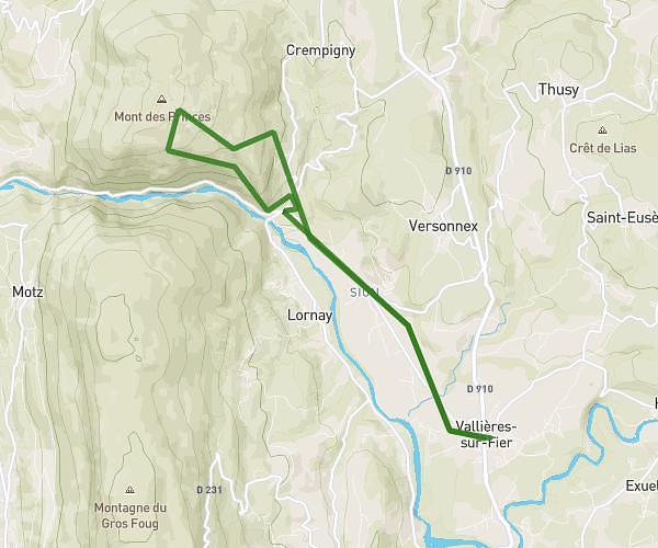
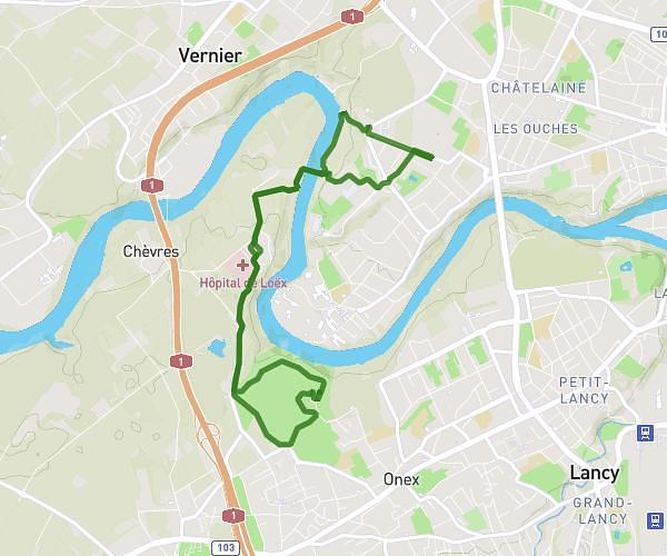
This running route covers 3.211mi starting from Sillingy, Haute-Savoie. The run is a loop trail and returns to the trailhead. This run is rated as easy, expect about 34m to complete it. The route has an elevation gain of 118ft and an elevation loss of 164ft.
Chemin confinement
Route details
5.67mph
Speed
389 kcal
Calories burned
Loop trail
Route type
1542ft
Min altitude
1706ft
Max altitude
Route profile
118ft
Elevation gain
164ft
Elevation loss
1542ft
Min altitude
1706ft
Max altitude
How to get there
Trailhead: 113 Allée Des Dolines, 74330 Sillingy, France
GPS coordinates of the trailhead: 45.942196, 6.04602 / 45°56'31'' N, 6°2'45'' E