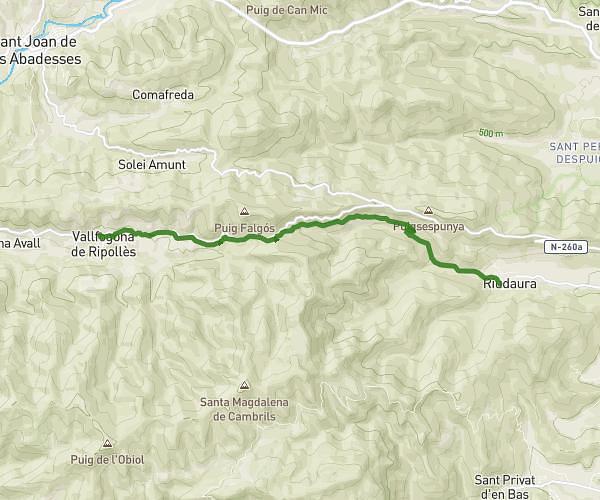
This hiking trail covers 5.119mi starting from Vallfogona de Ripollès, Girona. The hike does not return to the trailhead and ends near Plaça Del Gambeto 1, 17179 Riudaura, Girona, Spain. This hike is rated as strenuous, plan for about 2h44m to complete it. The route has an elevation gain of 696ft and an elevation loss of 2477ft.
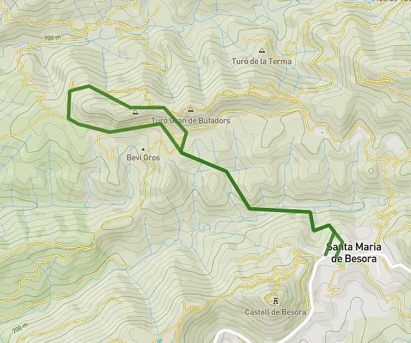
coll canes rudaura 2
Route details
1.86mph
Speed
1203 kcal
Calories burned
11.7%
Avg grade
Point to point
Route type
1903ft
Min altitude
3730ft
Max altitude
Steep climb
Route profile
696ft
Elevation gain
2477ft
Elevation loss
1903ft
Min altitude
3730ft
Max altitude
How to get there
Trailhead: Carretera D'olot 100, 17179 Vallfogona de Ripollès, Girona, Spain
GPS coordinates of the trailhead: 42.197152, 2.345955 / 42°11'49'' N, 2°20'45'' E